Dolomites Croda da Lago Hike: Lakes, Peaks & Panoramic Views
The hike around the Croda da Lago mountain range is probably one of the few trips in the Dolomites that isn’t completely crowded. The combination of scenic forest trails, a refreshing dip in the crystal-clear Lago di Federa, and stunning mountain views makes this tour a true highlight. Arguably even our favorite hike.
Right from the first steps through the Val Formin, it’s easy to see why we consider this hike an absolute must-see. While you’ll encounter other hikers along the main trail to the hut and the lake, the majority of the route can be enjoyed almost entirely alone, allowing you to fully soak in the nature and scenery.
Croda da Lago Hike: Trail Details, Distance & Elevation
The hike to Croda da Lago is a medium-length day tour, making it the perfect introduction to the Dolomites. The trail is manageable for most hikers but requires stamina and endurance, especially towards the end. The route takes you through a variety of landscapes. From forested sections to rockier pathsleading up to numerous unique viewpoints. The trail is well-marked, so it’s easy to follow and you’re unlikely to get lost. After the first few meters, however, you’ll need to decide whether to do the hike clockwise or counterclockwise. More on that shortly.
5 hours – moderate to challenging Croda da Lago hike
Total of 13 kilometers
and 780 elevation gain
Giau Pass km4
Parking Ponte di Rocurto
Parking & Starting Point
The best place to park is the “Ponte di Rocurto” parking area at Giau Pass, kilometer 4. It’s a small roadside parking bay located right next to the trailhead. Since the parking area is quite small (around 30 spaces), it’s a good idea to arrive early, especially during peak season. We arrived around 9:00 a.m. and still managed to find a spot without any issues. If the parking area is already full, it’s not a big problem. Along the pass road, you’ll find several smaller pull-outs where parking is possible. One thing is certain: the earlier you arrive, the more relaxed your start into the day and the hike will be. You’ll be especially grateful for this on the way back.
Trail Description & Highlights
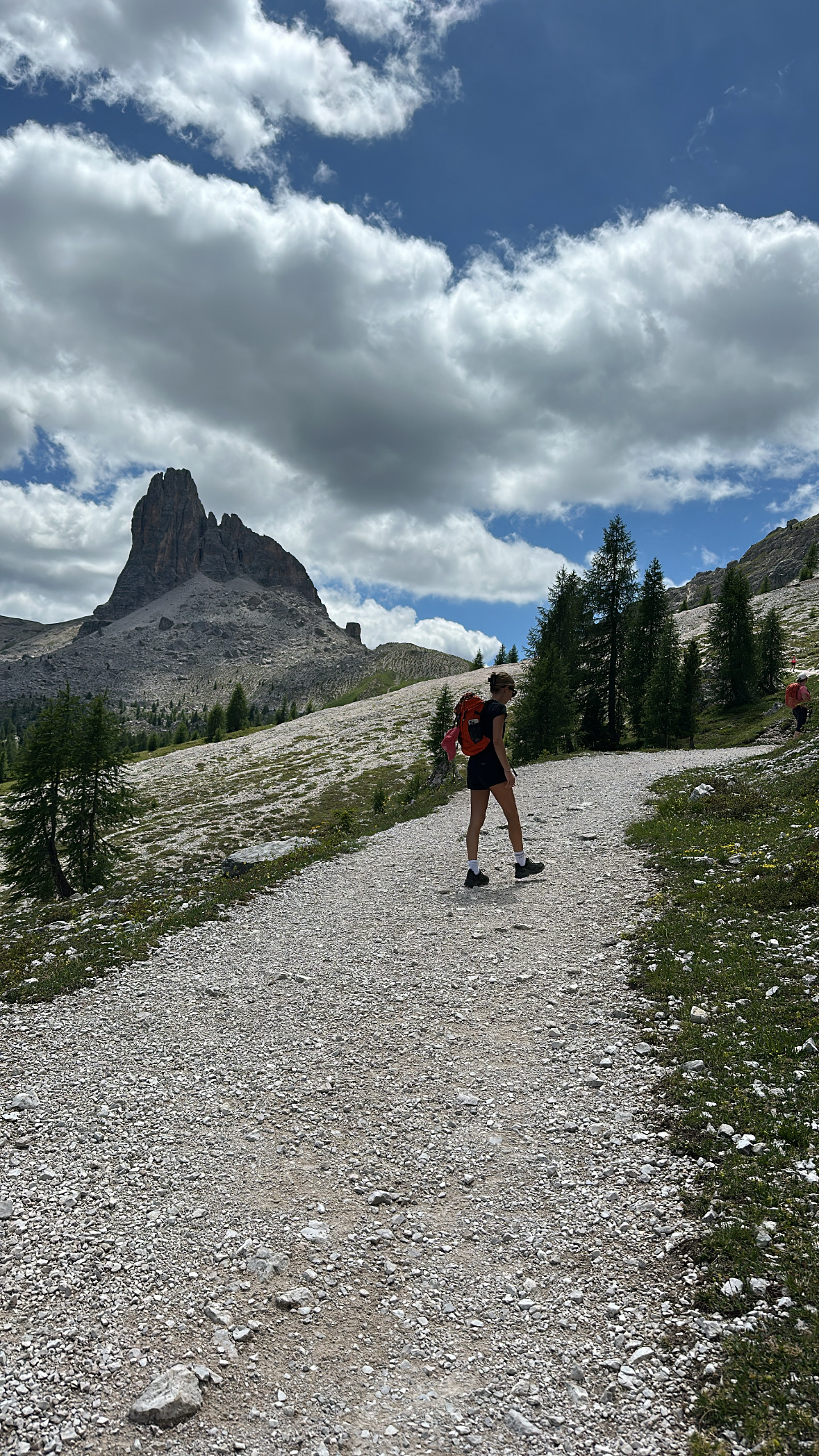
From the parking area, trail number 437 first leads you through the Val Formin. The start of the hike is pleasant, beginning with a shaded forest section before the views slowly open up and the first rock formations come into sight. After about 45–60 minutes, you’ll reach a junction. Here, you need to decide whether you want to head to the lake and the mountain hut first, or hike the loop counterclockwise and tackle the mountain massif at the beginning.
Most hikers choose to go clockwise, as the ascent is more gradual and gives you the chance to refuel before the more demanding part of the hike. We also opted for this direction, which turned out to be the better choice in hindsight. At the junction, keep left and follow trail number 434.
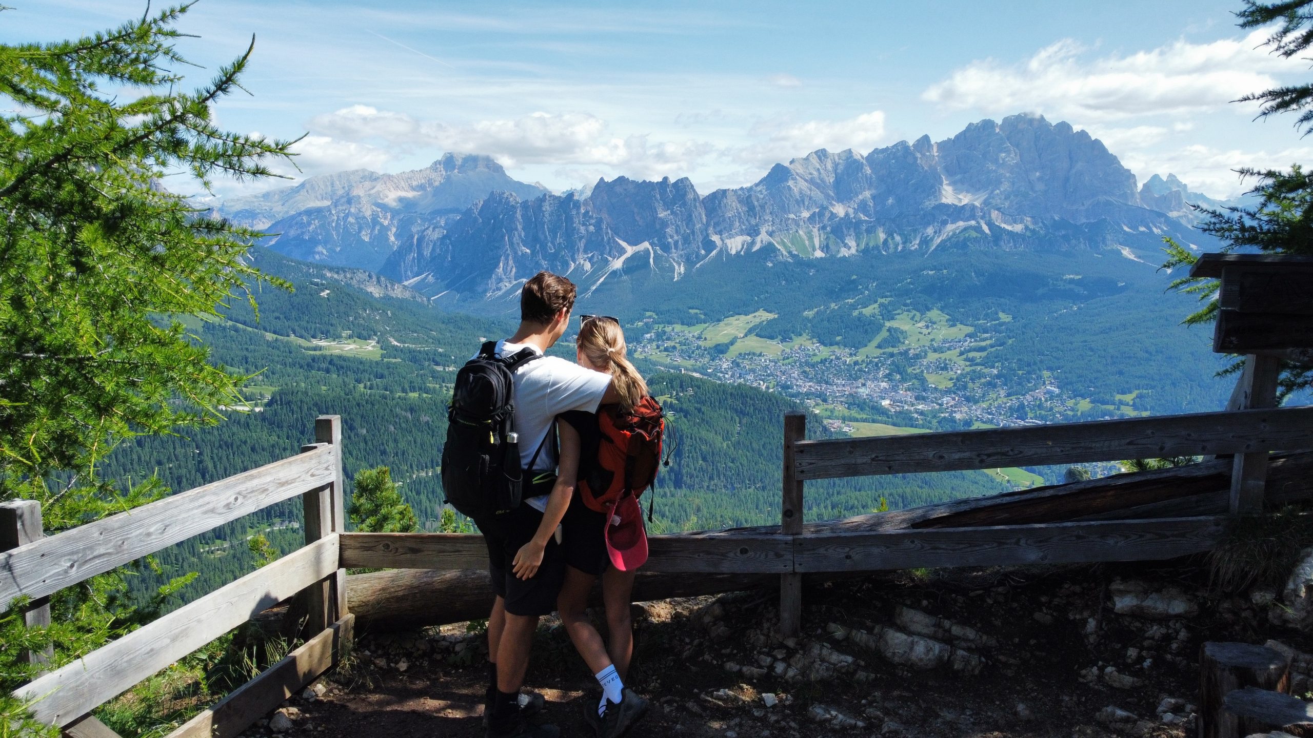
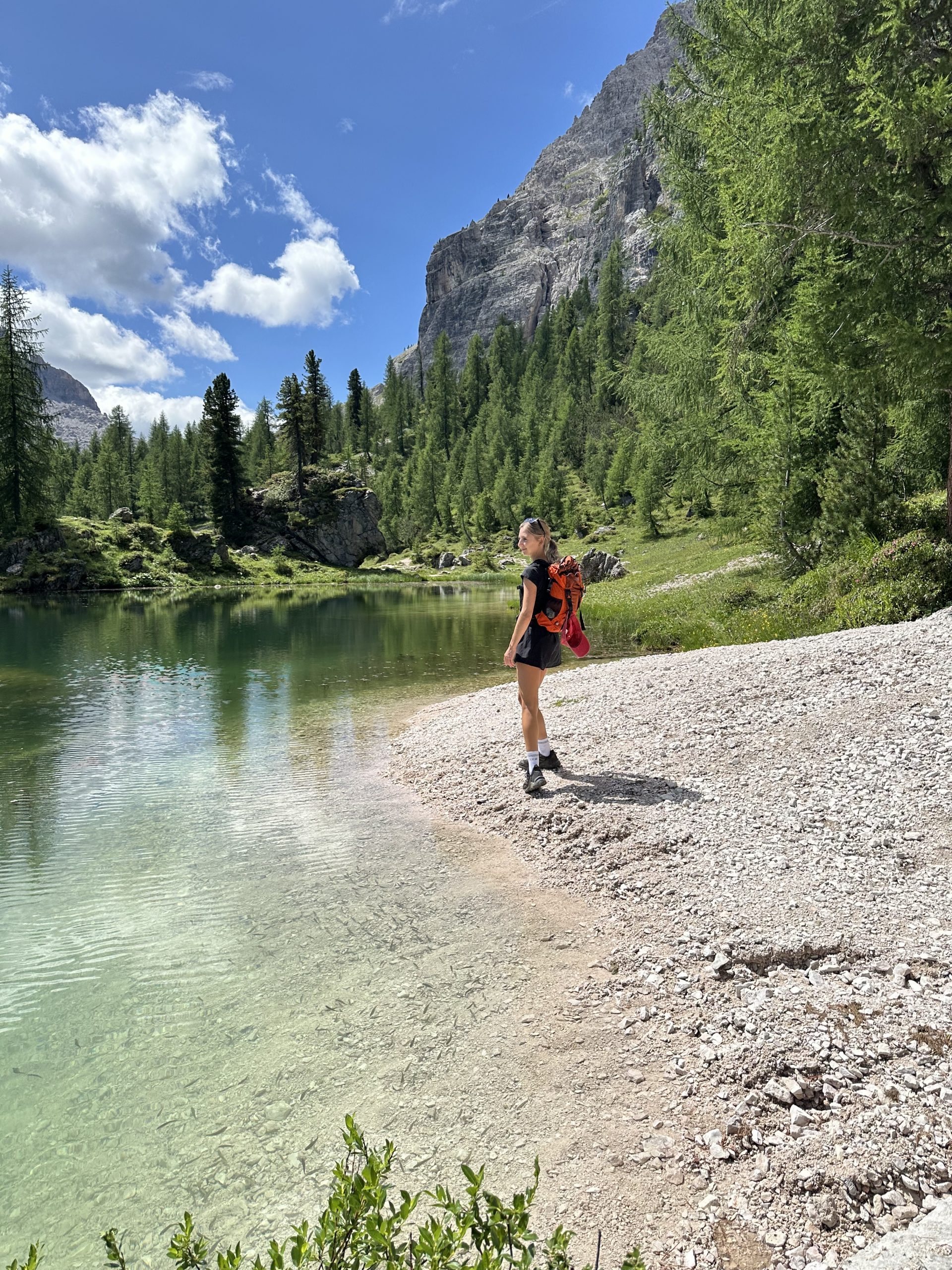
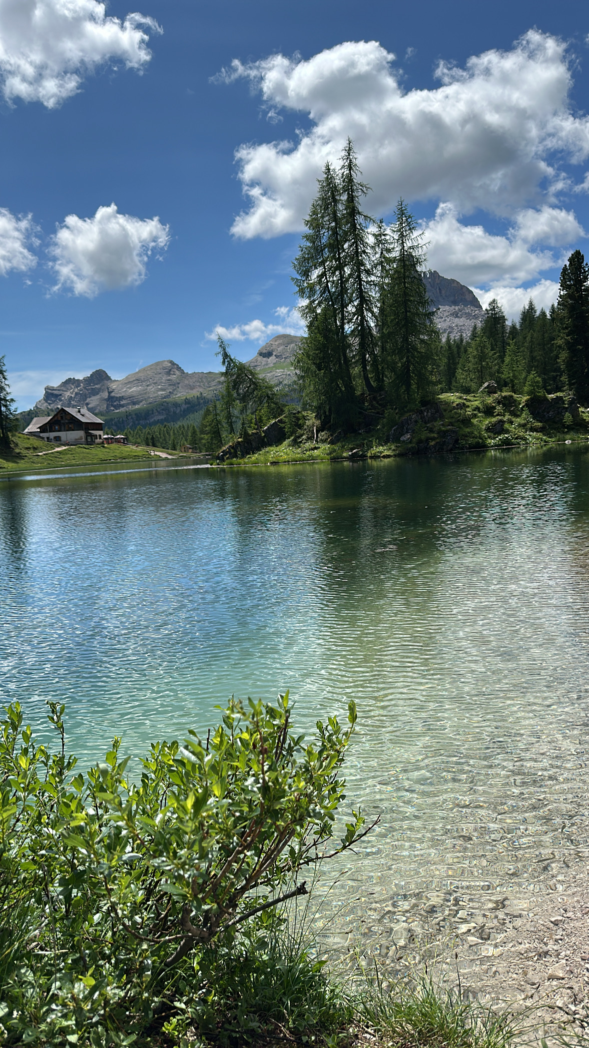
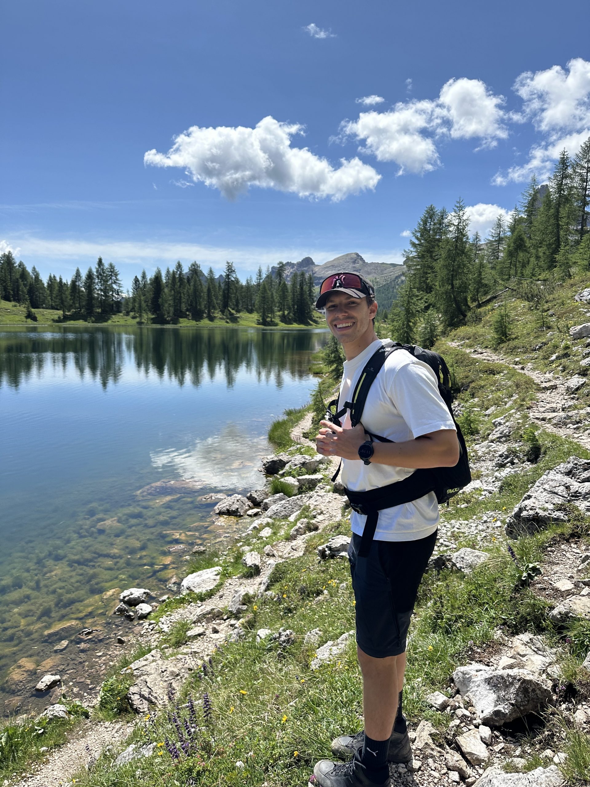
After another 45 minutes, you’ll reach a viewpoint offering a stunning, wide panorama over Cortina d’Ampezzo and the surrounding landscape. After roughly another hour, you arrive at Lago Federa. The first glimpse of the lake is truly impressive: the water is crystal clear, and the surrounding mountains are beautifully reflected on its surface. Before heading to the mountain hut, we walk to the right and make a short loop around the lake. Along the way, there are several spots where you can jump into the water and cool off.
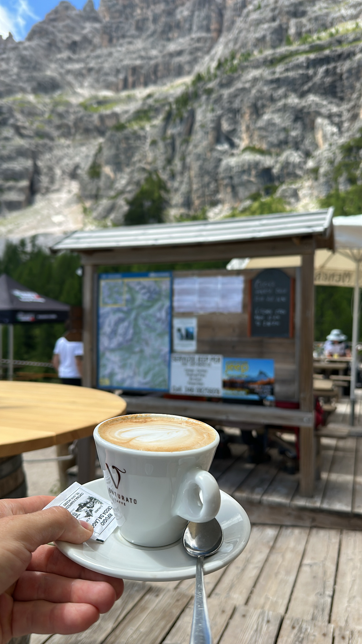
Afterwards, we make our way to the hut to refuel for the rest of the hike. By this point, you’ve already completed about a good third of the total route. This is exactly why we recommend hiking in this direction. The ascent from the opposite side is significantly longer and much steeper. In addition, you would reach the hut much later, meaning you’d need to carry considerably more food and supplies.
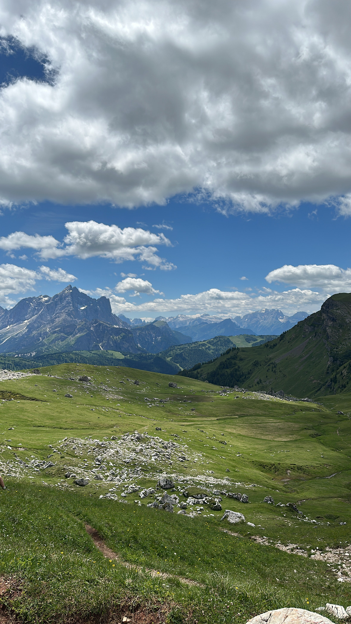
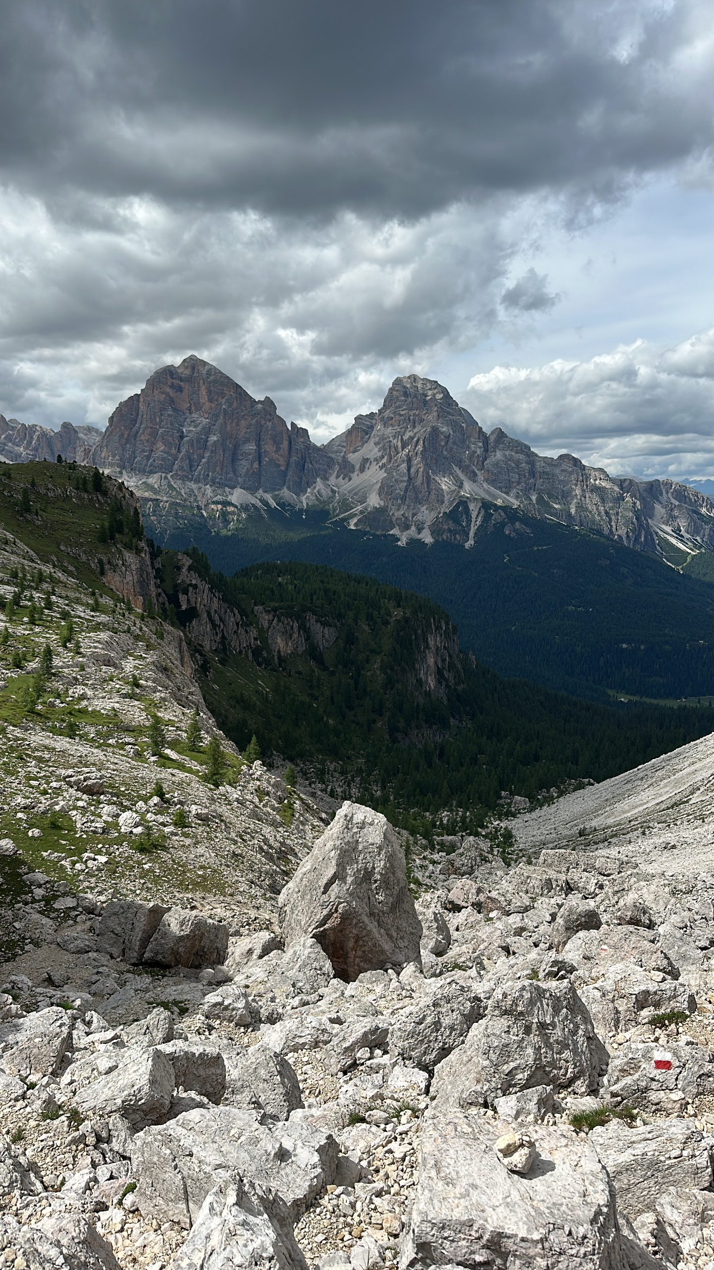
From the hut, the trail continues uphill. We follow the path toward Forcella Ambrizzola. This section climbs gently and partially overlaps with the route of the UTMB Trail Championship, which is why we encountered many participants coming toward us on this particular weekend. As a result, this stretch was quite busy due to the special circumstances of the race weekend. It’s best to check the official website in advance to see on which weekends events take place and plan your hike accordingly.
After the ascent, the trails split again, and from this point on it becomes noticeably quieter. Here, you often have the path almost entirely to yourself and can enjoy the landscape at a relaxed pace. With a bit of luck, you might even spot a few adorable marmots along the way.
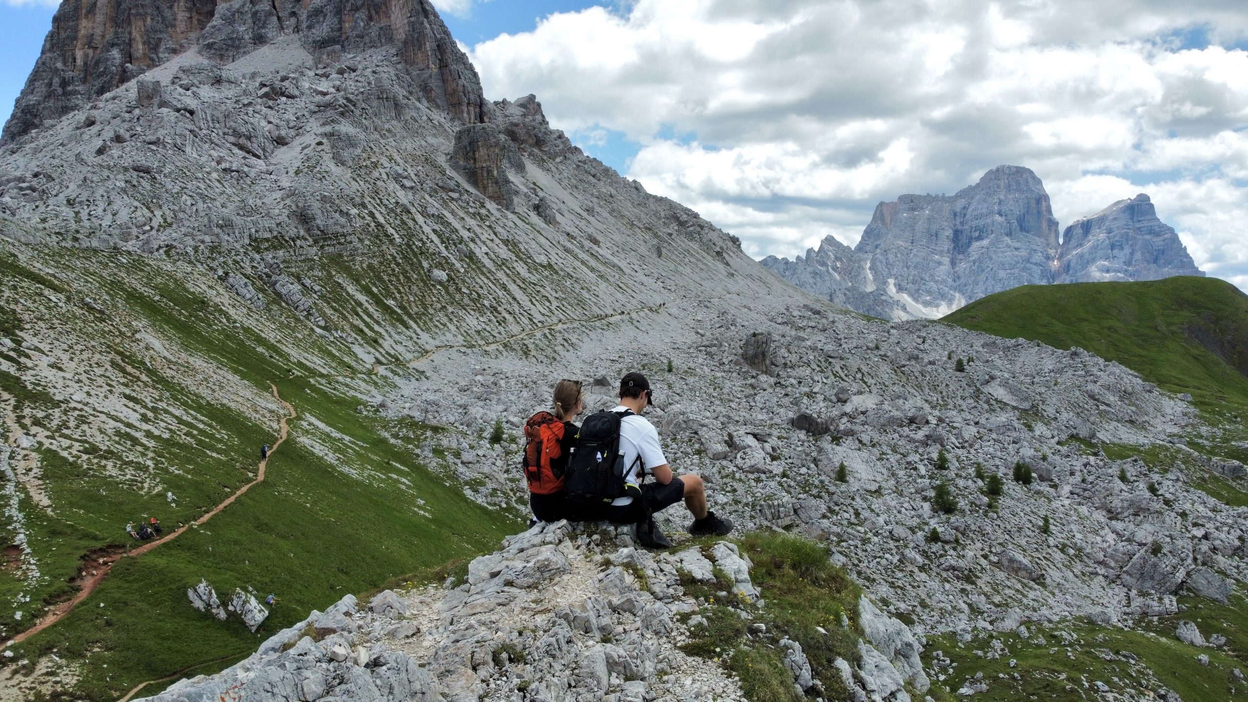
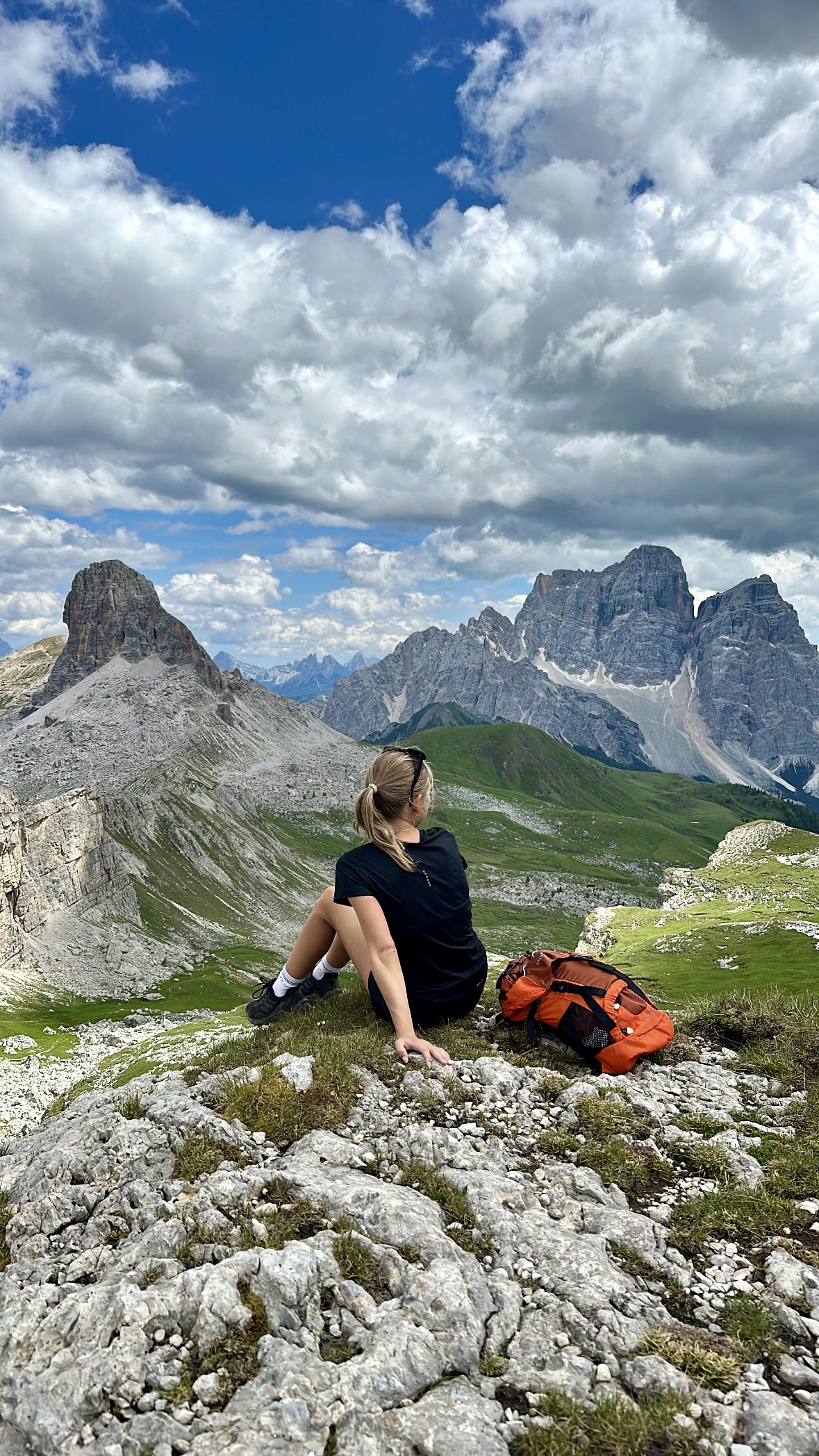
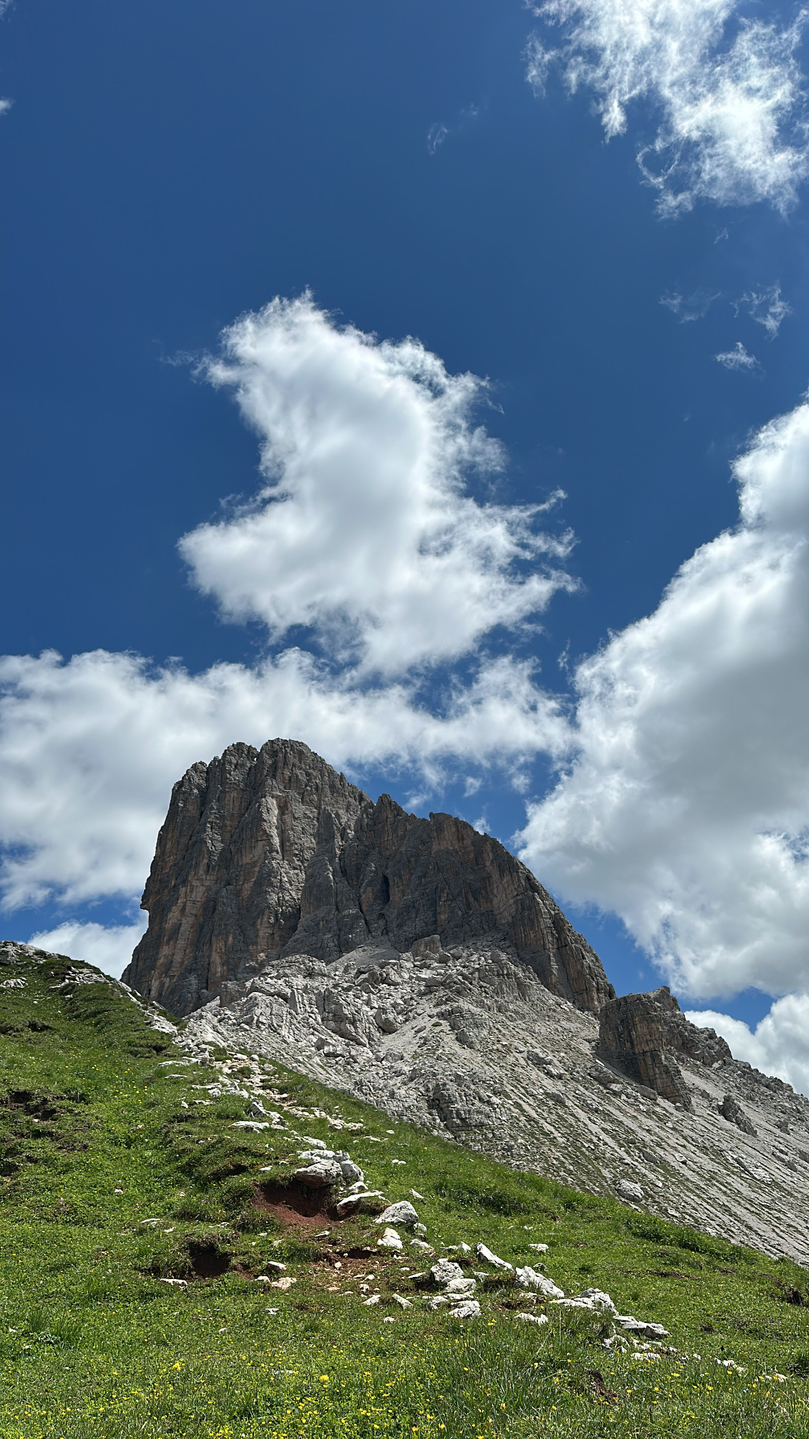
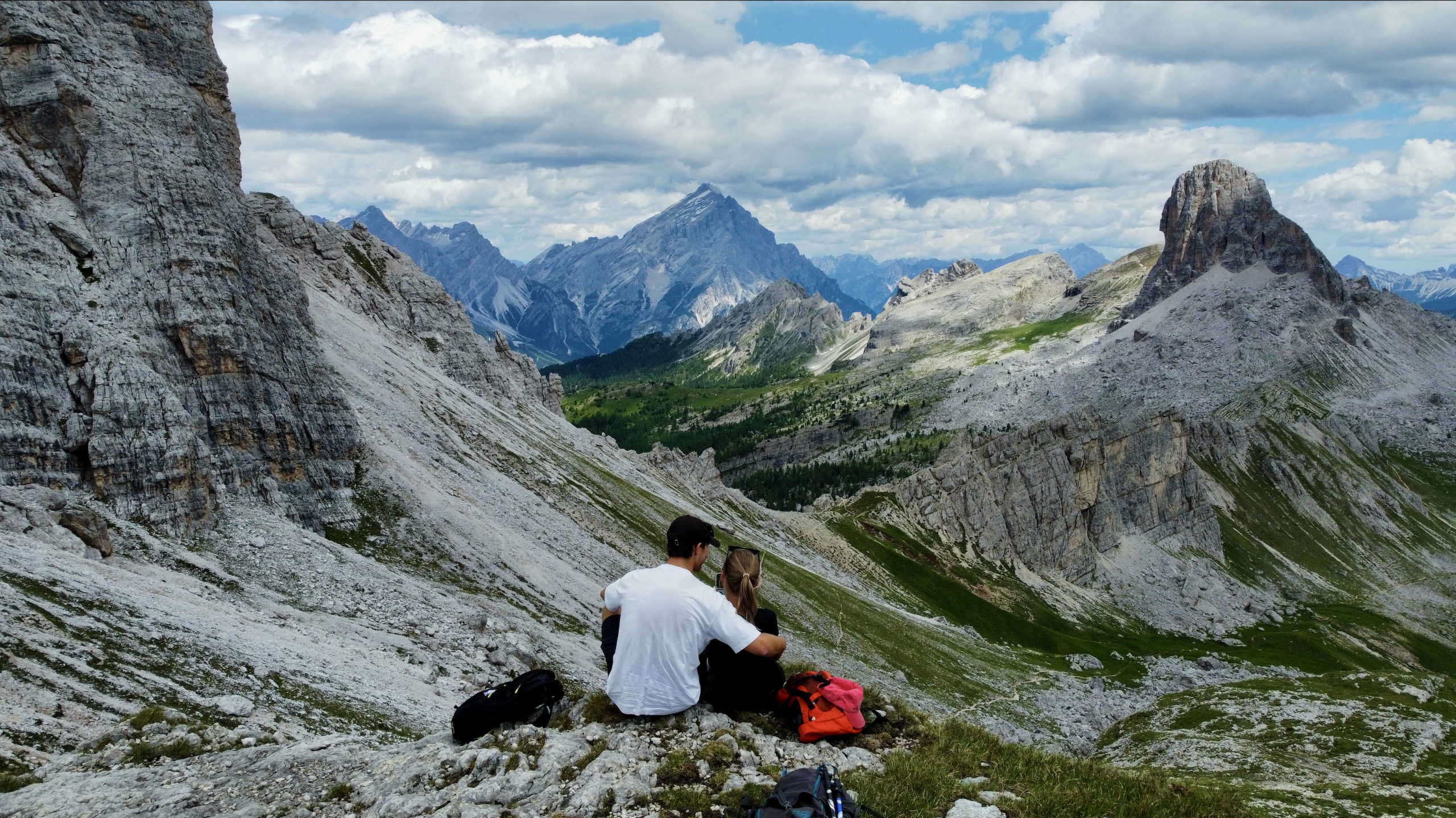
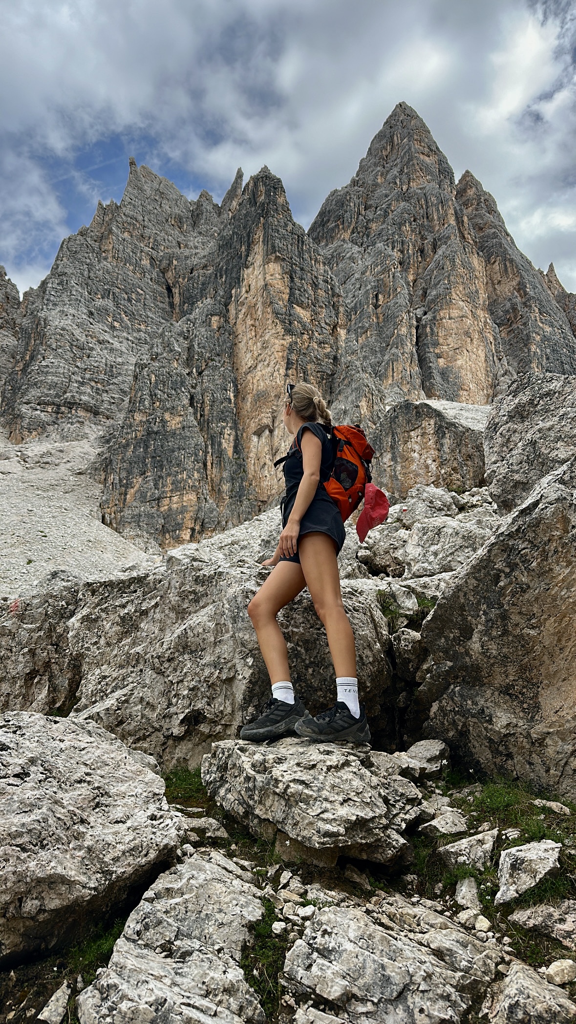
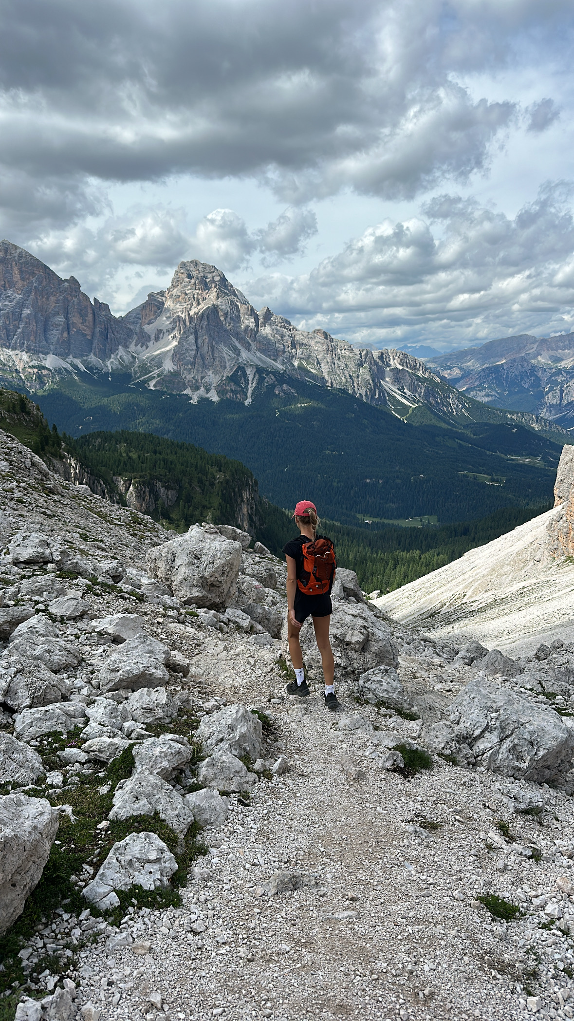
A final ascent follows before you reach the highest point of the hike. From here, the descent begins, and with every turn new, impressive views open up. The combination of massive rock faces, wide valleys, and open skies makes this last section particularly striking and creates a beautiful transition through the landscape.
The descent itself is relatively demanding and stretches on for quite some time. Larger steps are often required, and in some sections you need to descend in a controlled manner, using both hands and feet. The terrain is uneven, and full concentration is essential here. When we made our way down this section, we were simply glad we had chosen to hike the loop in this direction. In reverse, this part of the route would have been a much more strenuous and technically challenging ascent.
Tip: Make sure to bring enough high-energy snacks, such as dates or protein bars, to refuel along the way and ensure you have sufficient strength for the entire hike.
Once you’ve successfully mastered the descent and returned to the valley, the feeling of accomplishment is truly rewarding. But the Dolomites have so much more to offer beyond this loop. If the rugged peaks of Croda da Lago have left you craving more, you definitely shouldn’t miss the iconic Tre Cime di Lavaredo hike or the crystal-clear, turquoise waters of Lago di Sorapis, both of which offer entirely different but equally breathtaking perspectives of the region.
If you’re currently planning your journey and want to see how to combine these highlights into one seamless adventure, head over to our comprehensive Dolomites round trip guide. It’s the best place to find all the logistics and route details you need for an unforgettable time in South Tyrol